 "Wobbles the Mind" (wobblesthemind)
04/30/2016 at 11:43 ē Filed to: Roads
 3
3
 0
0
 "Wobbles the Mind" (wobblesthemind)
04/30/2016 at 11:43 ē Filed to: Roads |  3 3
|  0 0 |
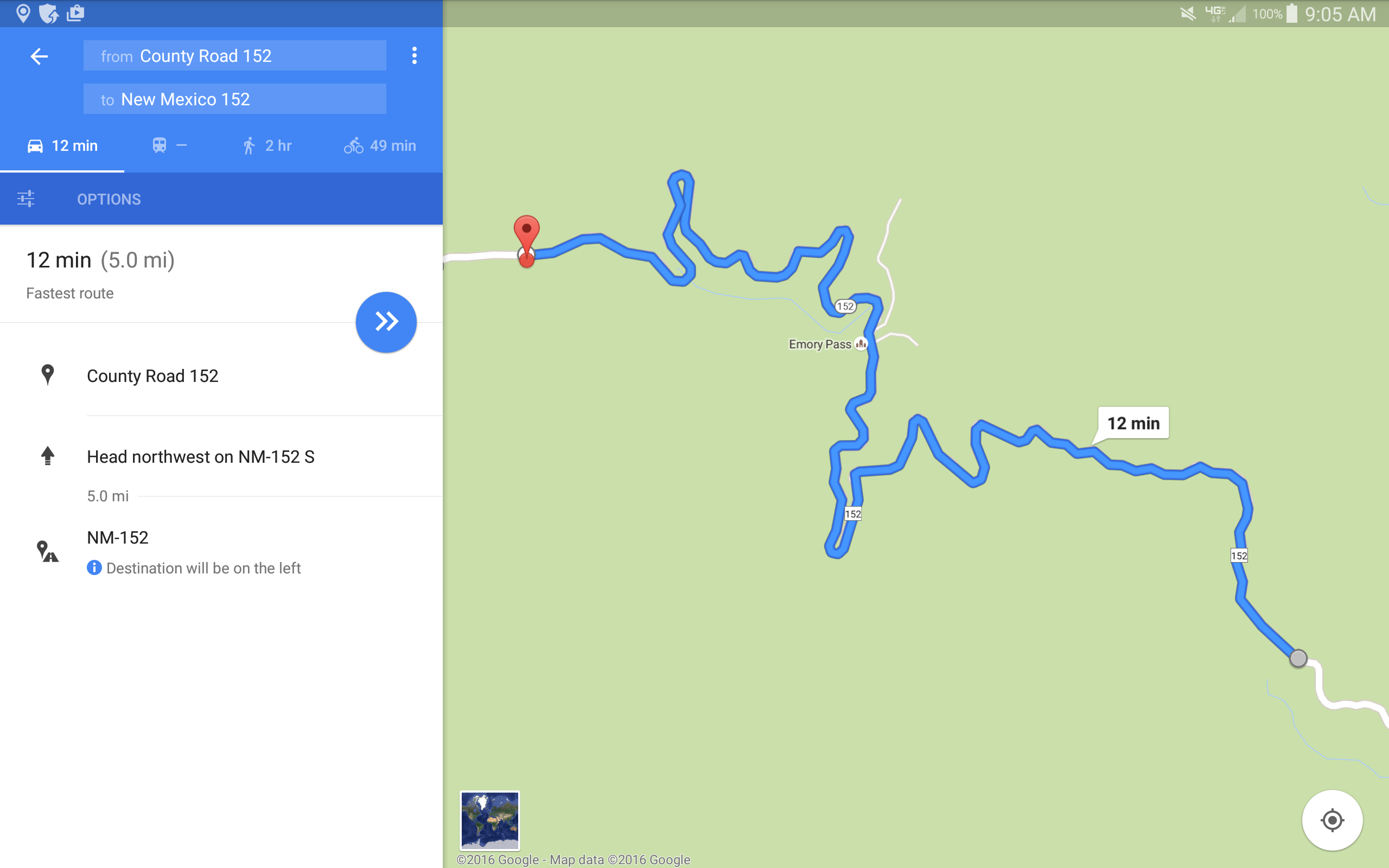
I ended up driving through this pass. First time I drove it was at night in the WK2. Messed me up because (as youíll see when you scroll down) being zoomed out takes away the details. Great experience!
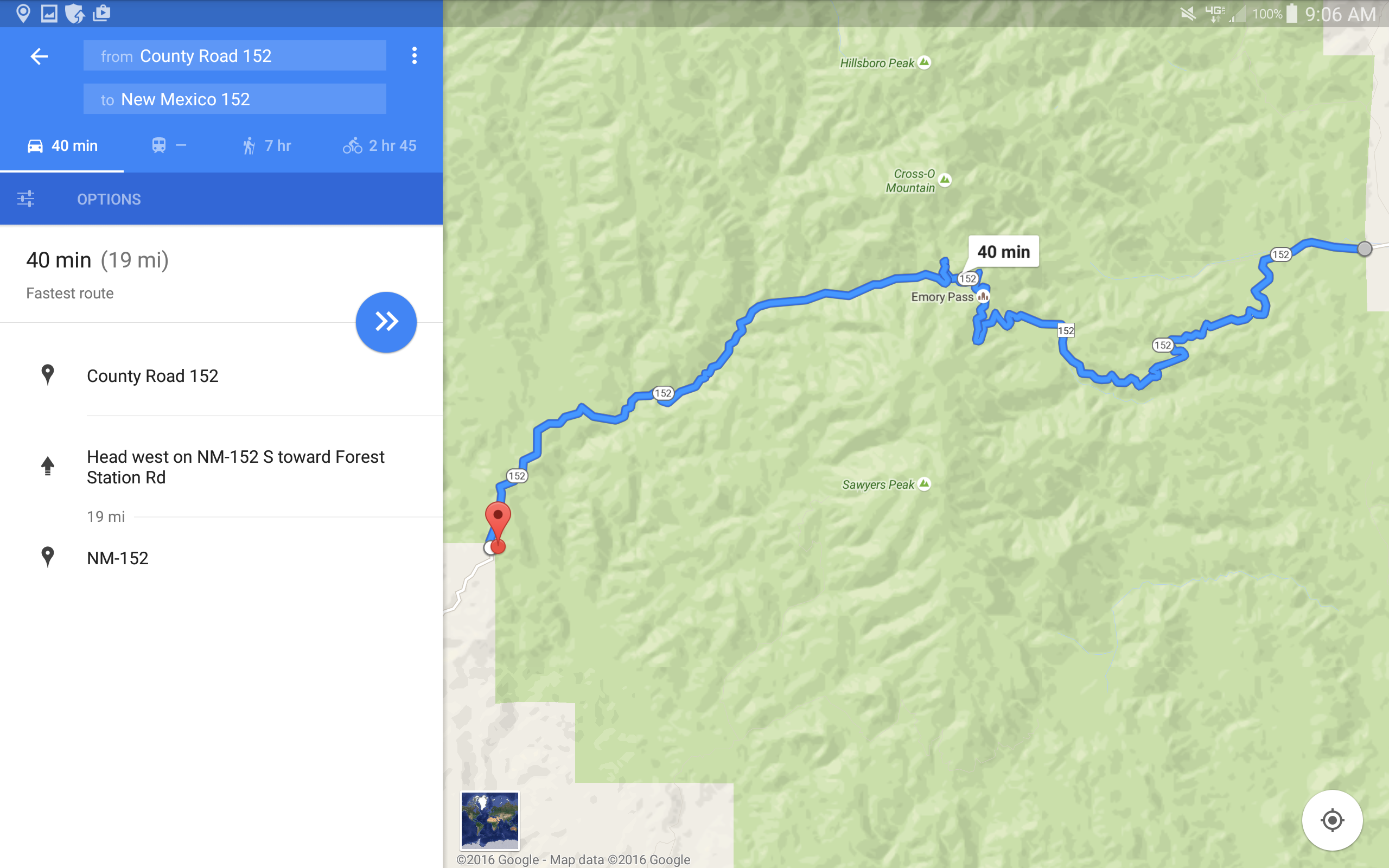
Emory Pass is in the middle there, almost a speck. This is HWY 152 through the bottom off-shoot of Gila National Forest. They close off this entire area depending on conditions. Meaning that this is a relatively easy area to divert traffic from and hold an event in! We need a New Mexico Hill Climb to go against Pikeís Peak!
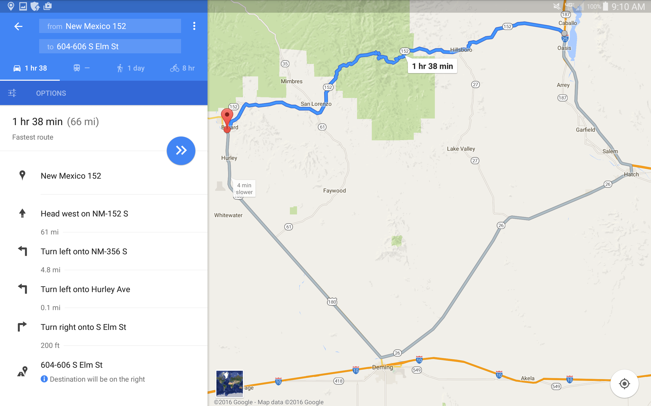
That grey route is 111 miles total. Obviously I didnít think about how much faster the average speed must be (or rather how slow the average speed is on the shorter route). But most Navs will have you take that grey route, however I still read signage and figured my Nav was out of date.
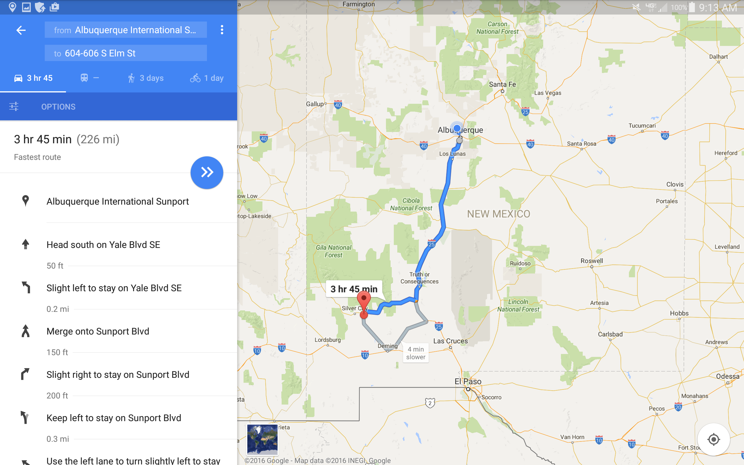
If you were to fly into Albuquerque, NM, this is how far you need to take your rental car out. This picture is what I saw when I did the phone navigation, so I didnít see any problem since it looked like a simple route!
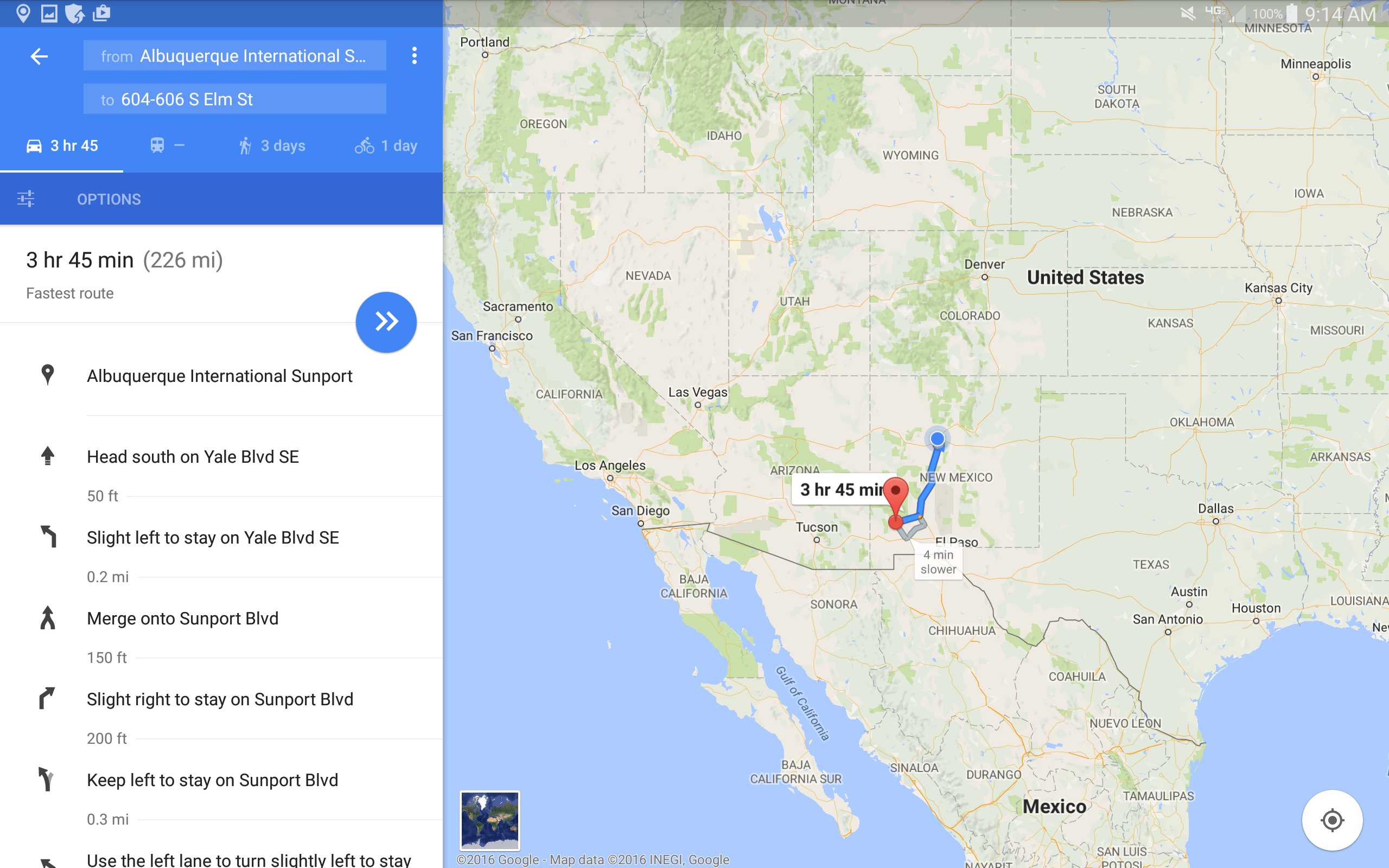
Hereís a better perspective for our International buddies. Makes sense why we love our barges and mammoth people movers, lots of open space and expanses of straight lines without any speed changes. This is one of the many reasons the Southwest is better than all the other parts of the US. No drama!